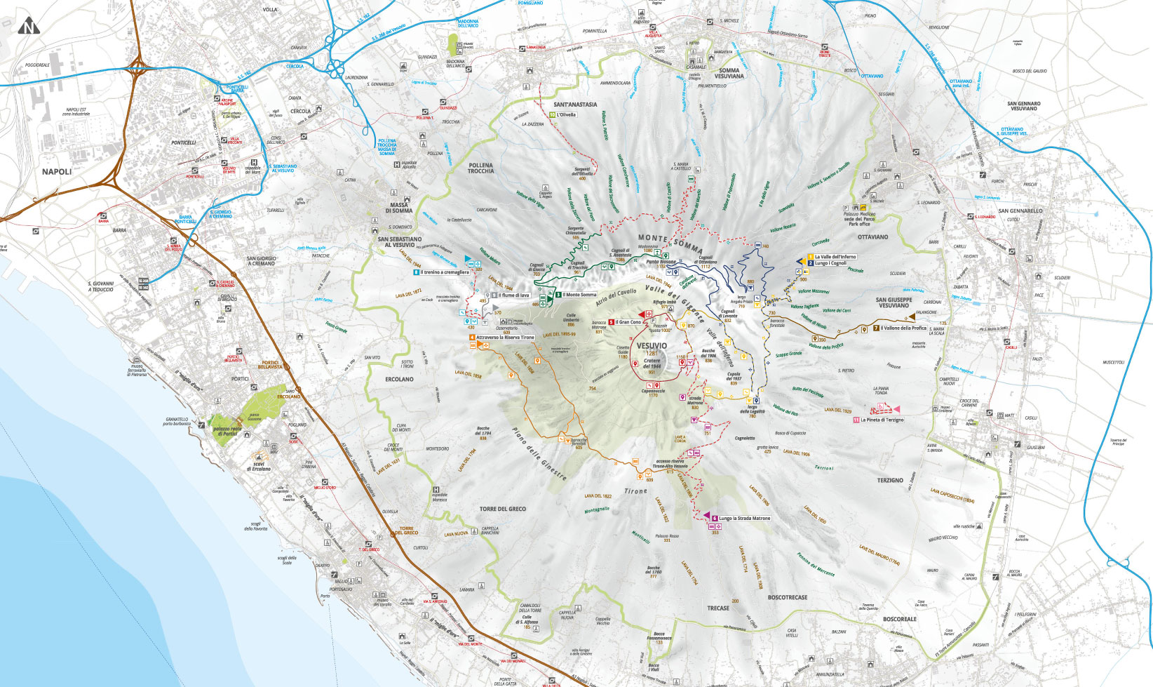
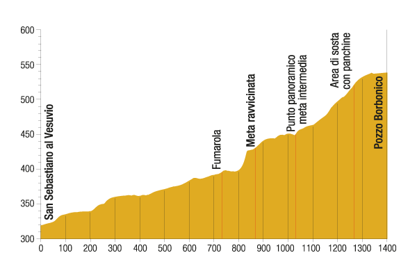
The itinerary follows the historical route for the ascent of Mount Vesuvius from the town of San Sebastiano to the foot of the hill on which the Vesuvius Observatory is. The trail, also suitable as bridle path, runs along part of the track of the cogwheel train that connected the Power Station (today known as the Cook Station, owned by the Park Authority and recently renovated) to the Observatory.
The rack section (railway traction system used in cases of considerable slopes) was part of a wider railway line that since 1903 transported tourists from Pugliano (Herculaneum) to the funicular lower station. The eruption of 1944 irreparably destroyed the funicular, which in 1953 was replaced by a chairlift that was then closed in 1984 because it was often unusable due to the wind.
However, the railway was about to be closed anyway and in 1955, with the completion of the road that climbs up to a thousand metres from Herculaneum, the train ran for its last time.

Please be extremely careful on the trails, always check weather conditions and wear appropriate shoes.
The Park Authority has no competence for safety and so it is not responsible for any damage to people and things that may occur during the use of the Park territory.
The first part of the trail proceeds slightly uphill along a paved road, lined with rows of pines, which crosses cultivated land. Go along the last part of the spectacular lava flow of 1944, which appears for most of the year as a grey expanse due to the presence of the Stereocaulon vesuvianum, but in late spring it turns into a colour explosion, thanks to the flowering of the broom and red valerian.
The birds are typical of the rural areas and the Maquis shrubland: the serin, the long-beaked black bunting, the red-backed shrike, which from the perch scrutinizes the countryside looking for preys, the Sardinian warbler, which builds its own nest among brambles and bushes; at dusk the diurnal birds finish their activities to make room for the rulers of the darkness, so the nocturnal hunting of the barn owl, the owl and the Eurasian scops owl begins.
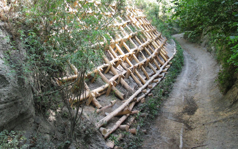
At the end of the asphalted road, a fumarole located between the blocks of lava allows you to feel the heat of the volcano, at only 450 metres above sea level. Then a dirt path uphill begins and after passing a bar you dive into a shady environment, dominated by a mixed forest with a rich undergrowth, which is characterized, among other species, by the butcher's broom and the red lily; the most widespread arboreal species are the locust tree and the chestnut tree. After a few hundred metres from the bar there is the close destination, where you can identify the ancient route of the cogwheel train. Along the way, various naturalistic engineering works are visible; by going up, you reach a viewing point on the Gulf of Naples that represents the intermediate destination.
The path proceeds to a widening, where the vegetation is enriched by the presence of the elder and the hawthorn, among the foliage you can see a well of Bourbon age for the collection of rainwater. The itinerary continues up to the provincial road, however a detour is recommended along path n. 9, through the left lane, which in a short time leads to the lava flow of 1944, from which you can enjoy a breath-taking view.
The route of the journey is then resumed proceeding in the opposite direction up to the entrance where the destination is placed.
Visit the other paths

The trail network is in overall redevelopment and maintenance and some paths may not be equipped with signs. Contact the Park Authority for more information.
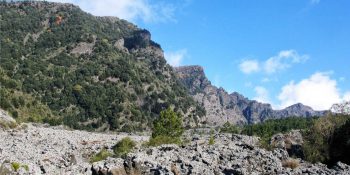
The Valley of Hell
Path N. 1 - The most beautiful places and the most representative environments of the protected area.
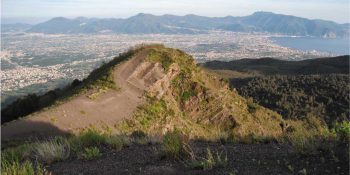
Along the Cognoli
Path N. 2 - The most beautiful and wild scenery of Somma-Vesuvius.
![]() Nature trail towards Somma Vesuviana temporarily closed
Nature trail towards Somma Vesuviana temporarily closed
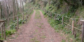
The Mt Somma
Paths N. 3 - This fascinating ring route leads to Punta Nasone, which with its 1,132 metres is the highest peak of Mount Somma.
![]() Nature trail from Somma Vesuviana temporarily closed
Nature trail from Somma Vesuviana temporarily closed
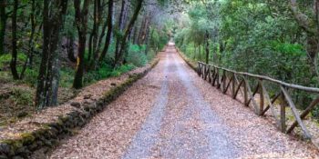
The Tirone Reserve
Path N. 4 - The track is located within the Tirone-Alto Vesuvius Forest Reserve, which covers about 1,000 hectares.
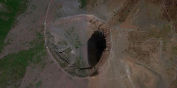
The Great Cono
Path N. 5 - A guide to visit the Crater of the Vesuvius.
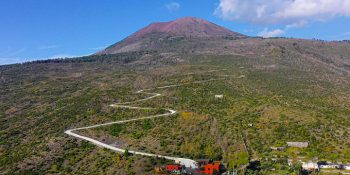
The Matrone Road
Path N. 6 - The path corresponds to the ancient road traced by the Matrone brothers to go back to the Gran Cono from the side of Boscotrecase; …
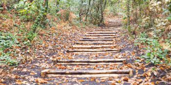
The Profica Valley
Path N. 7 - The itinerary, which is known as the “agricultural path”, winds along the slopes of the lesser known side of Mount Somma, the …
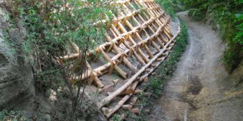
The Rack Railway
Path N. 8 - The itinerary follows the historical route for the ascent of Mount Vesuvius from the town of San Sebastiano to the foot of the hill …
![]()
Closed nature trail where maintenance interventions will be introduced
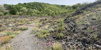
The River of lava
Path N. 9 - Thanks to this itinerary, you can experience the thrill of walking on a lava flow, surrounded by an almost lunar landscape.
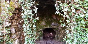
The Olivella
Path N. 10 - The itinerary retraces the Olivella path, which climbs through the countryside of Sant'Anastasia and leads to the homonymous springs, …
![]()
Closed nature trail where maintenance interventions will be introduced
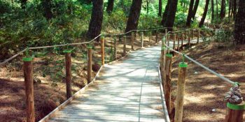
Terzigno Pinewood
Path N. 11 - The path is flat and is inside a thick pine forest, designed for pleasant walks and for people with limited difficulties.
