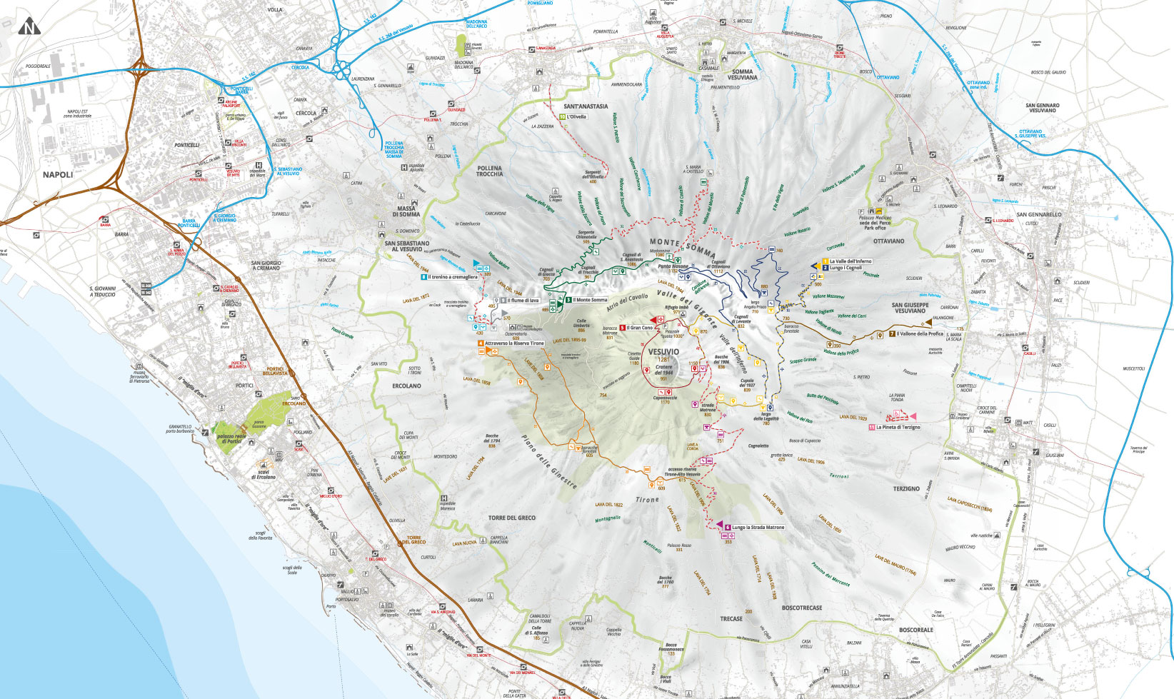
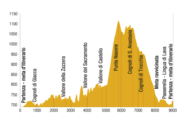
This fascinating ring route leads to Punta Nasone, which with its 1,132 metres is the highest peak of Mount Somma.
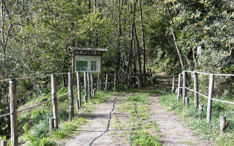
In the first part of the path, you can retrace the ancient street of Via Traversa, which is set up for the use of blind and disabled people for 800 metres. A fence with a rope handrail flanks the easy path and allows you to define the distances to the touch thanks to tactile markers placed every 100 metres. Along the way you can see many species of the broom thickets.
A beautiful view of the Gulf of Naples is only a preview of the wonderful views that the itinerary offers later. After passing a hairpin turn on the left, you enter the mesophilous forest of black locusts and chestnuts. Continue until you reach the crossroads: the path leads to a rainwater harvesting tank, where the close destination is located, while the climb to Mount Somma proceeds on the right through the steps.
The path becomes quite steep and is characterized by dense vegetation; closed and shaded sections of wood alternate with open sections of broom thickets; in spring the red lily reigns and has an intense orange colour. Then you can see the cognoli of Trocchia (961 metres above sea level) and of Sant'Anastasia (1,086 metres above sea level), from which you can admire on one side the Gulf of Naples and Campania’s plain and on the other the Tirone - Alto Vesuvio Reserve, the Gran Cono and the cognoli of Ottaviano. The intermediate destination is placed on a viewing point.
Returning to the path, after some difficult steps and a climb of lapilli, you can reach Punta Nasone, which overhangs the underlying Valle del Gigante, where the lava river is impressive, and with a pinch of imagination you can see it flow again, as it did in the distant March 1944. On the top there are small shacks to rest, a chapel dedicated to St. Mary and a large cross, which are linked to ancient civil and religious rites, such as the Mountain Festival, when the worshippers climb to Mount Somma starting from the church of Santa Maria delle Grazie in Castello (Somma Vesuviana).

Please be extremely careful on the trails, always check weather conditions and wear appropriate shoes.
The Park Authority has no competence for safety and so it is not responsible for any damage to people and things that may occur during the use of the Park territory.
Somma partendo dalla chiesa di Santa Maria delle Grazie a Castello (Somma Vesuviana).
The path then continues in rapid descent, accompanied by the vision of some beautiful centenarian chestnuts, clinging to the lava spikes. Having reached a widening with a small votive shrine and shacks, the path curves to the left and after a few metres crosses the road that descends to Santa Maria di Castello on the right.
From the open space there is also a narrow road that runs along the wood up to the path that goes back to the cognoli of Ottaviano, thus working as a connection between paths n. 3 and n. 2. The last part of the itinerary cuts almost the entire northern side of Mount Somma and runs through lush forests, affected by innovative naturalistic engineering works, such as the “bridge of the elder”, a wooden bridge after which you can see the black elder. The chestnut and the black locust dominate, as well as some species of oak, maple, Italian alder, European hop hornbeam and holm oak, which is slowly re-colonizing the most open areas.
Traversing the whole side of Mount Somma backwards and beyond the cognoli of Giacca (703 metres above sea level), you reach again the initial crossroads, from which you return to the entrance gate, where the destination is.
Visit the other paths

The trail network is in overall redevelopment and maintenance and some paths may not be equipped with signs. Contact the Park Authority for more information.
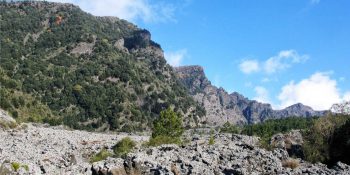
The Valley of Hell
Path N. 1 - The most beautiful places and the most representative environments of the protected area.
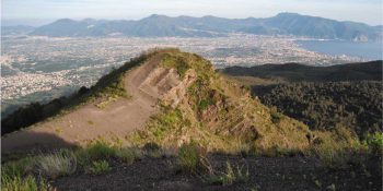
Along the Cognoli
Path N. 2 - The most beautiful and wild scenery of Somma-Vesuvius.
![]() Nature trail towards Somma Vesuviana temporarily closed
Nature trail towards Somma Vesuviana temporarily closed
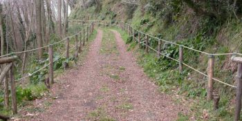
The Mt Somma
Paths N. 3 - This fascinating ring route leads to Punta Nasone, which with its 1,132 metres is the highest peak of Mount Somma.
![]() Nature trail from Somma Vesuviana temporarily closed
Nature trail from Somma Vesuviana temporarily closed
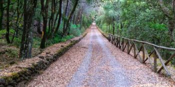
The Tirone Reserve
Path N. 4 - The track is located within the Tirone-Alto Vesuvius Forest Reserve, which covers about 1,000 hectares.
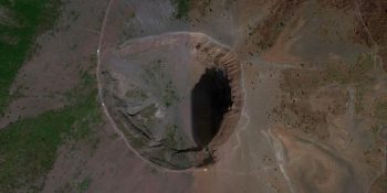
The Great Cono
Path N. 5 - A guide to visit the Crater of the Vesuvius.
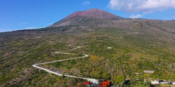
The Matrone Road
Path N. 6 - The path corresponds to the ancient road traced by the Matrone brothers to go back to the Gran Cono from the side of Boscotrecase; …
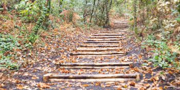
The Profica Valley
Path N. 7 - The itinerary, which is known as the “agricultural path”, winds along the slopes of the lesser known side of Mount Somma, the …
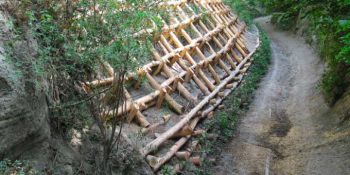
The Rack Railway
Path N. 8 - The itinerary follows the historical route for the ascent of Mount Vesuvius from the town of San Sebastiano to the foot of the hill …
![]()
Closed nature trail where maintenance interventions will be introduced
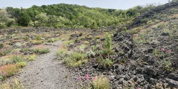
The River of lava
Path N. 9 - Thanks to this itinerary, you can experience the thrill of walking on a lava flow, surrounded by an almost lunar landscape.
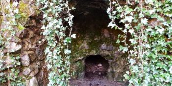
The Olivella
Path N. 10 - The itinerary retraces the Olivella path, which climbs through the countryside of Sant'Anastasia and leads to the homonymous springs, …
![]()
Closed nature trail where maintenance interventions will be introduced
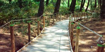
Terzigno Pinewood
Path N. 11 - The path is flat and is inside a thick pine forest, designed for pleasant walks and for people with limited difficulties.
