

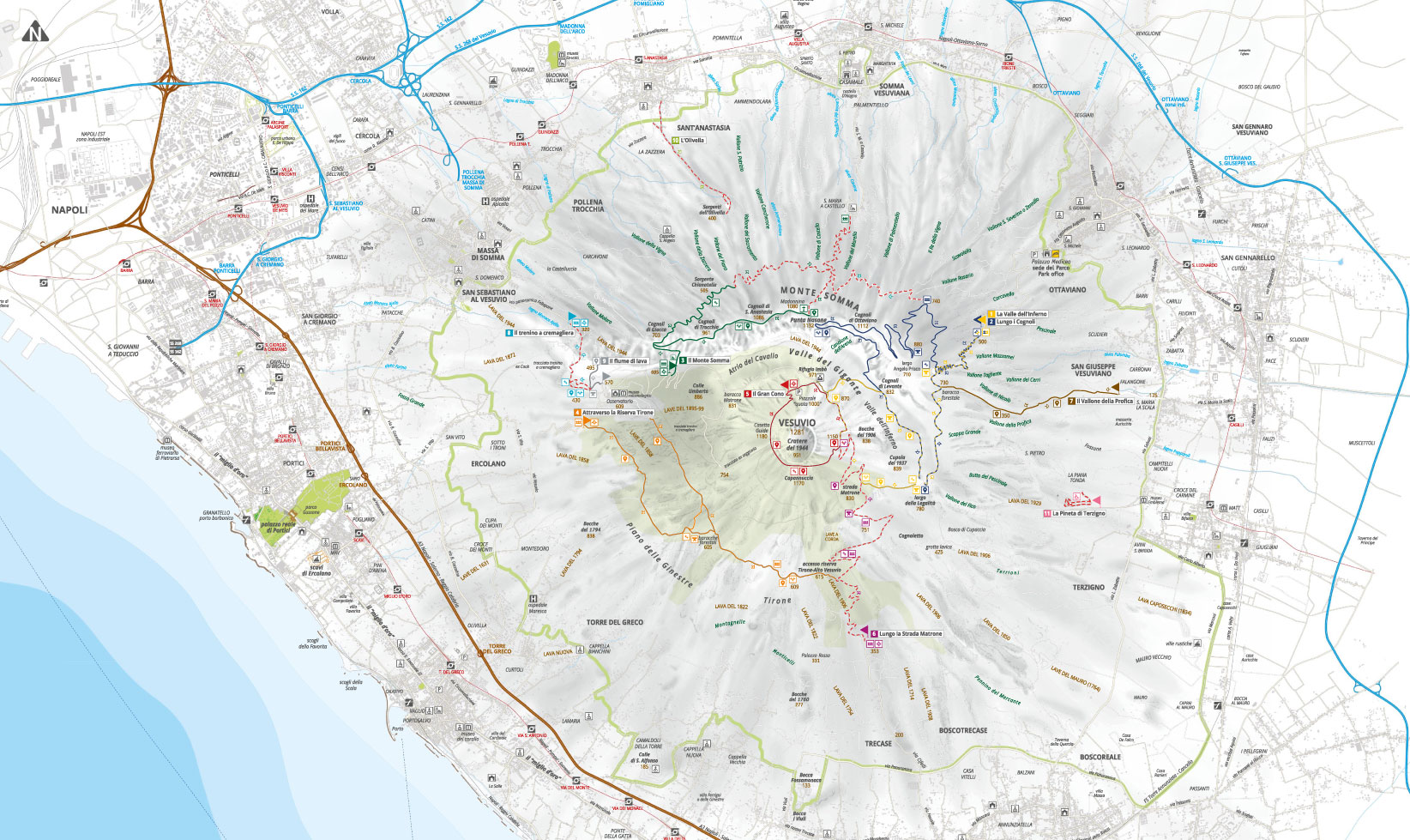


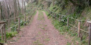
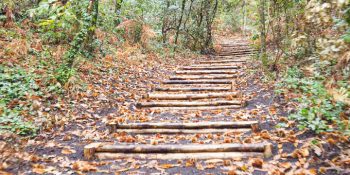
The Valley of Hell
Path N. 1 - The most beautiful places and the most representative environments of the protected area.
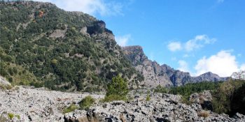
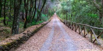
Along the Cognoli
Path N. 2 - The most beautiful and wild scenery of Somma-Vesuvius.
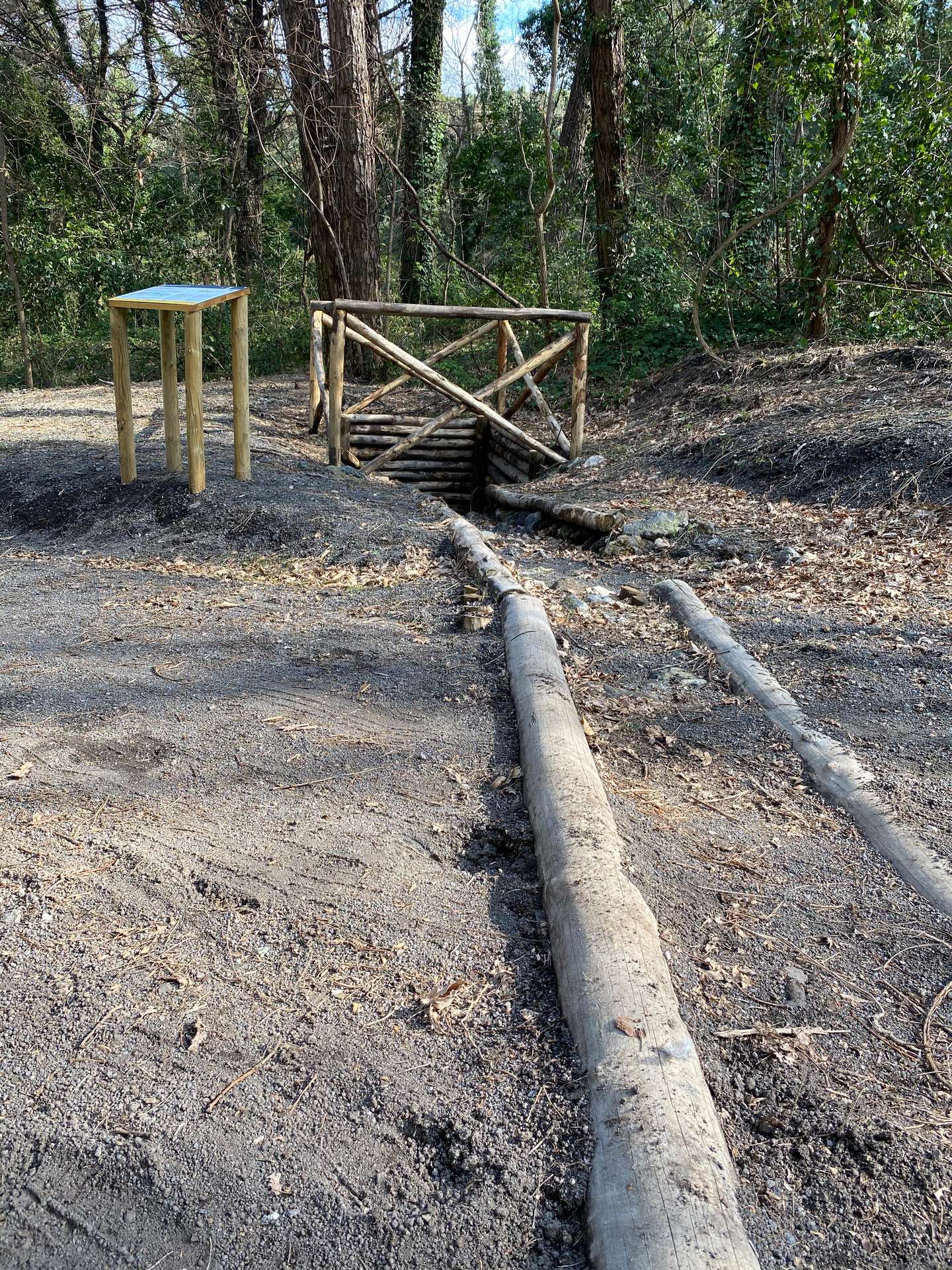
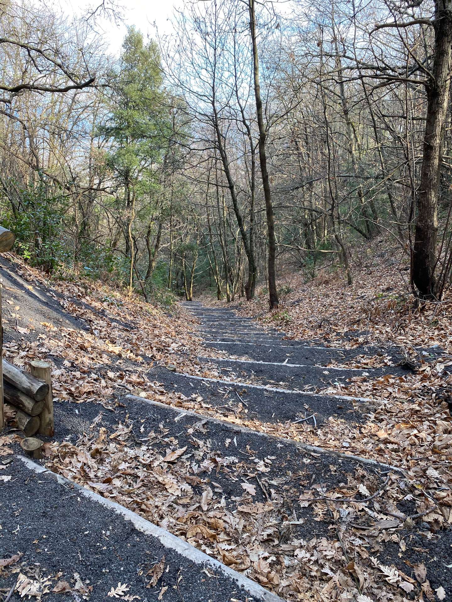
![]() Nature trail towards Somma Vesuviana temporarily closed
Nature trail towards Somma Vesuviana temporarily closed
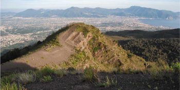
The Mt Somma
Paths N. 3 - This fascinating ring route leads to Punta Nasone, which with its 1,132 metres is the highest peak of Mount Somma.
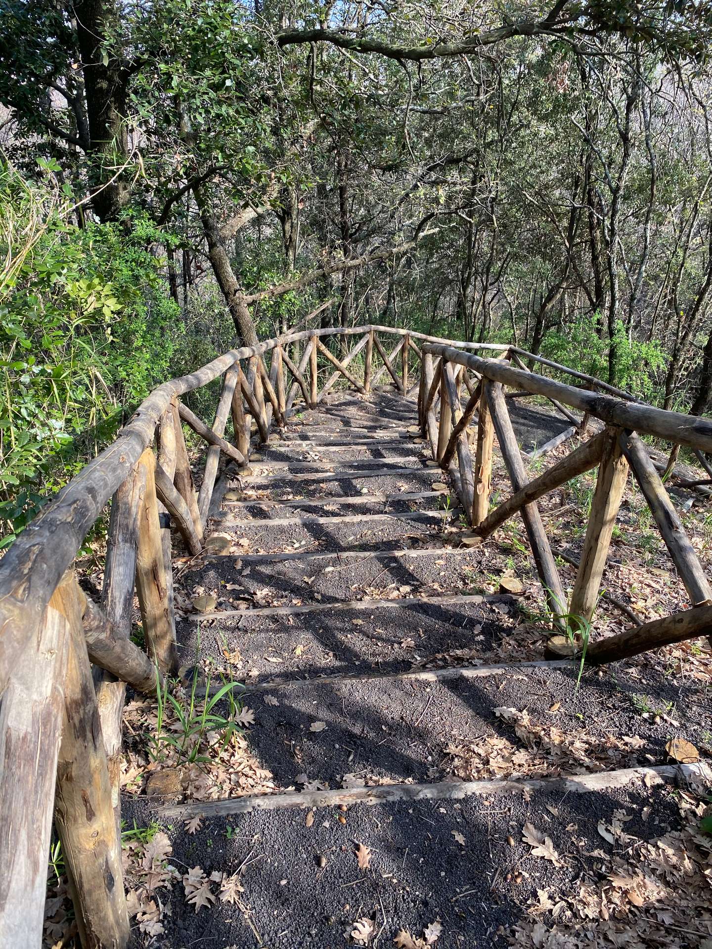
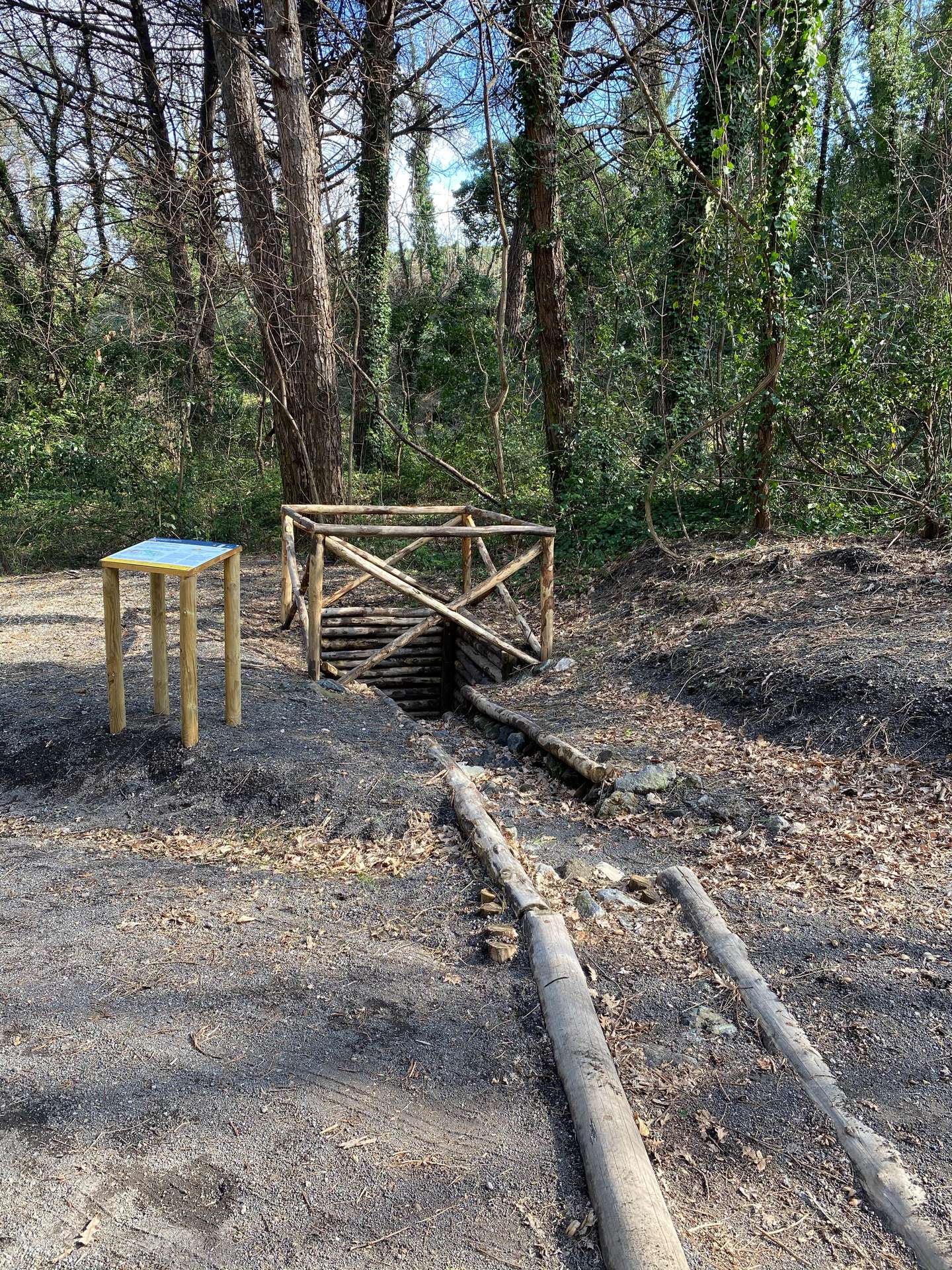
![]() Nature trail from Somma Vesuviana temporarily closed
Nature trail from Somma Vesuviana temporarily closed
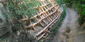
The Tirone Reserve
Path N. 4 - The track is located within the Tirone-Alto Vesuvius Forest Reserve, which covers about 1,000 hectares.
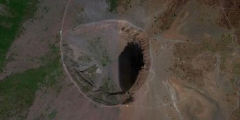
The Great Cono
Path N. 5 - A guide to visit the Crater of the Vesuvius.
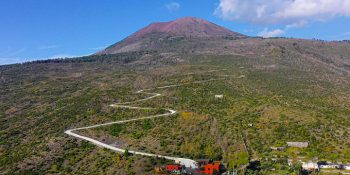
The Matrone Road
Path N. 6 - The path corresponds to the ancient road traced by the Matrone brothers to go back to the Gran Cono from the side of Boscotrecase; …
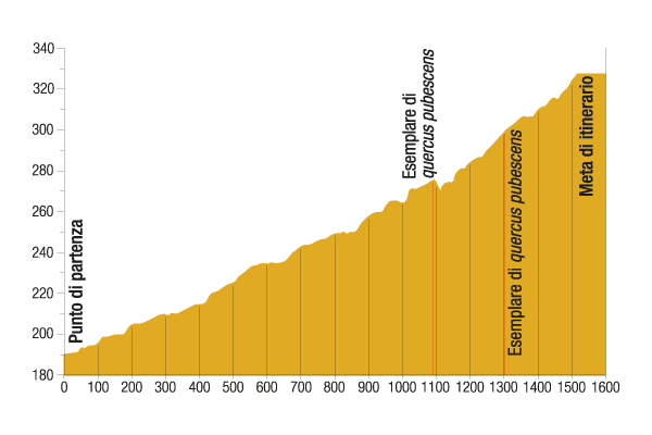
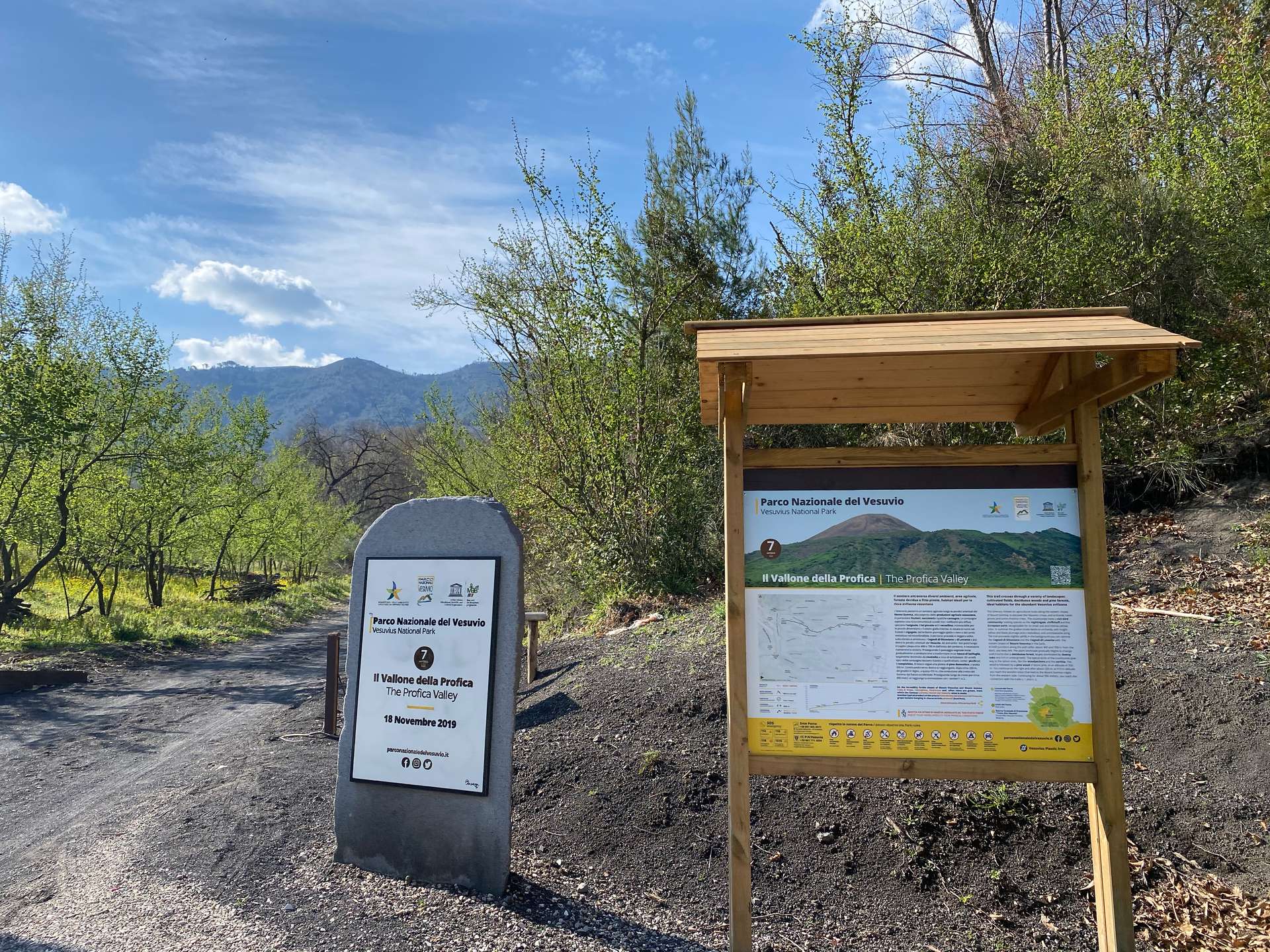
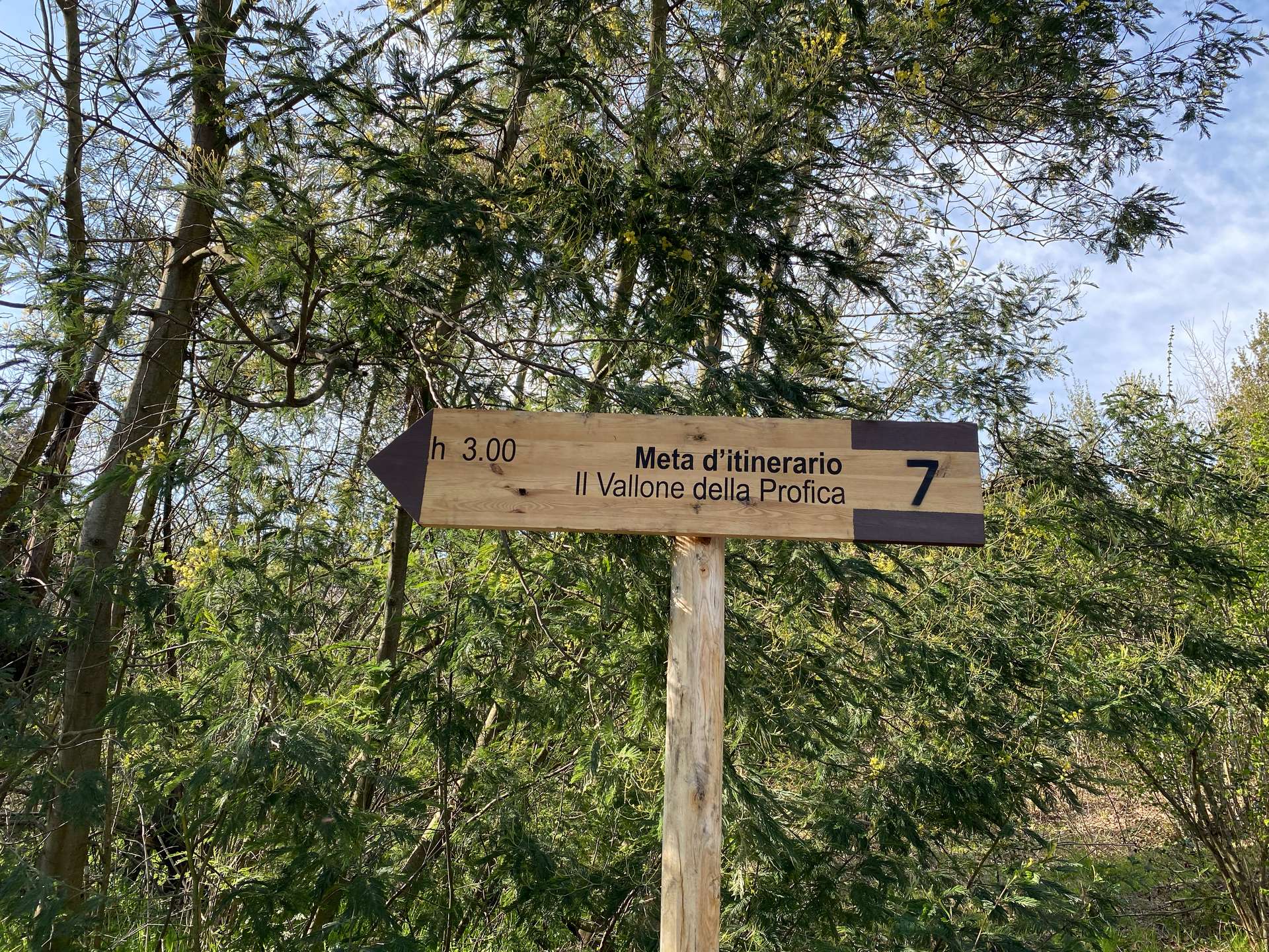
The Profica Valley
Path N. 7 - The itinerary, which is known as the “agricultural path”, winds along the slopes of the lesser known side of Mount Somma, the …
The Rack Railway
Path N. 8 - The itinerary follows the historical route for the ascent of Mount Vesuvius from the town of San Sebastiano to the foot of the hill …
![]()
Closed nature trail where maintenance
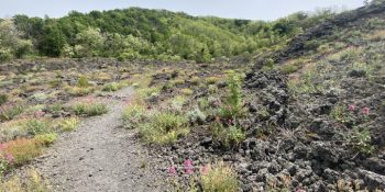
The River of lava
Path N. 9 - Thanks to this itinerary, you can experience the thrill of walking on a lava flow, surrounded by an almost lunar landscape.
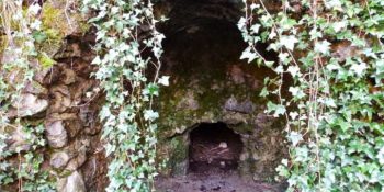
The Olivella
Path N. 10 - The itinerary retraces the Olivella path, which climbs through the countryside of Sant'Anastasia and leads to the homonymous springs, …
![]()
Closed nature trail where maintenance
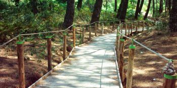
Terzigno Pinewood
Path N. 11 - The path is flat and is inside a thick pine forest, designed for pleasant walks and for people with limited difficulties.